A scenic drive along the Lariat Loop: Revving up history
Discover the Lariat Loop national scenic byway. This is the first installment of our lariat Loop series which explores the rich past & community connections along this historic local route.
By Annie Catura
Photos and illustrations by Annie Catura
At the turn of the 20th century, America entered a new era of exploration, fueled by burgeoning automotive technology. Cars became symbols of adventure, sparking the creation of scenic byways that catered to the leisurely pursuits of an increasing number of motorists. Inspired by tales of accessible, picturesque landscapes, the public embraced the allure of Sunday drives and scenic picnics.
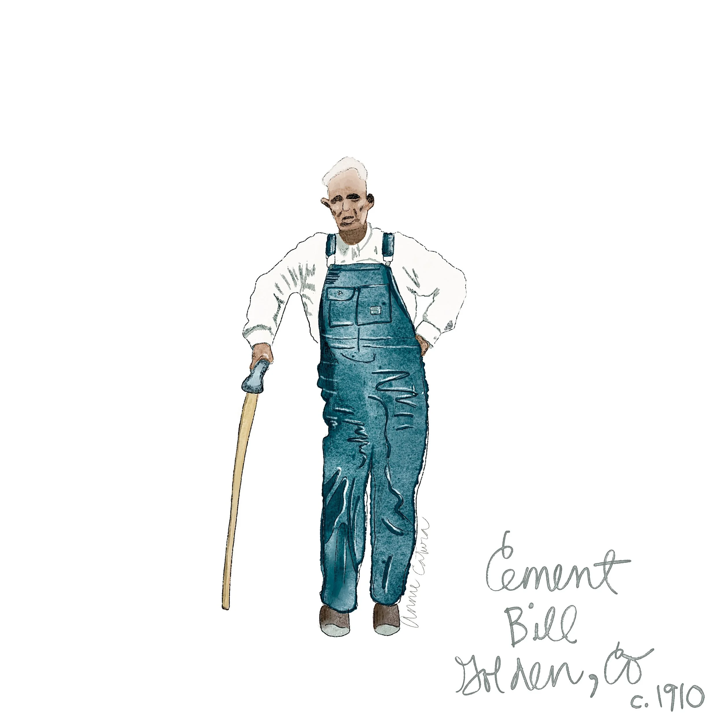
In 1910, William "Cement Bill" Williams, a visionary cement contractor from Golden, seized the opportunity to shape this emerging culture. He constructed a road that ascends 1,500 vertical feet in just 5 miles — a route that, with minor tweaks and widening, is still in use today. Officially opened in 1914, the Lariat Trail quickly became a favorite for its gentle slopes and panoramic views, encapsulating the spirit of early 20th-century American adventure.
Mile: 0
The Pillars - Sentinels of the Lariat Loop
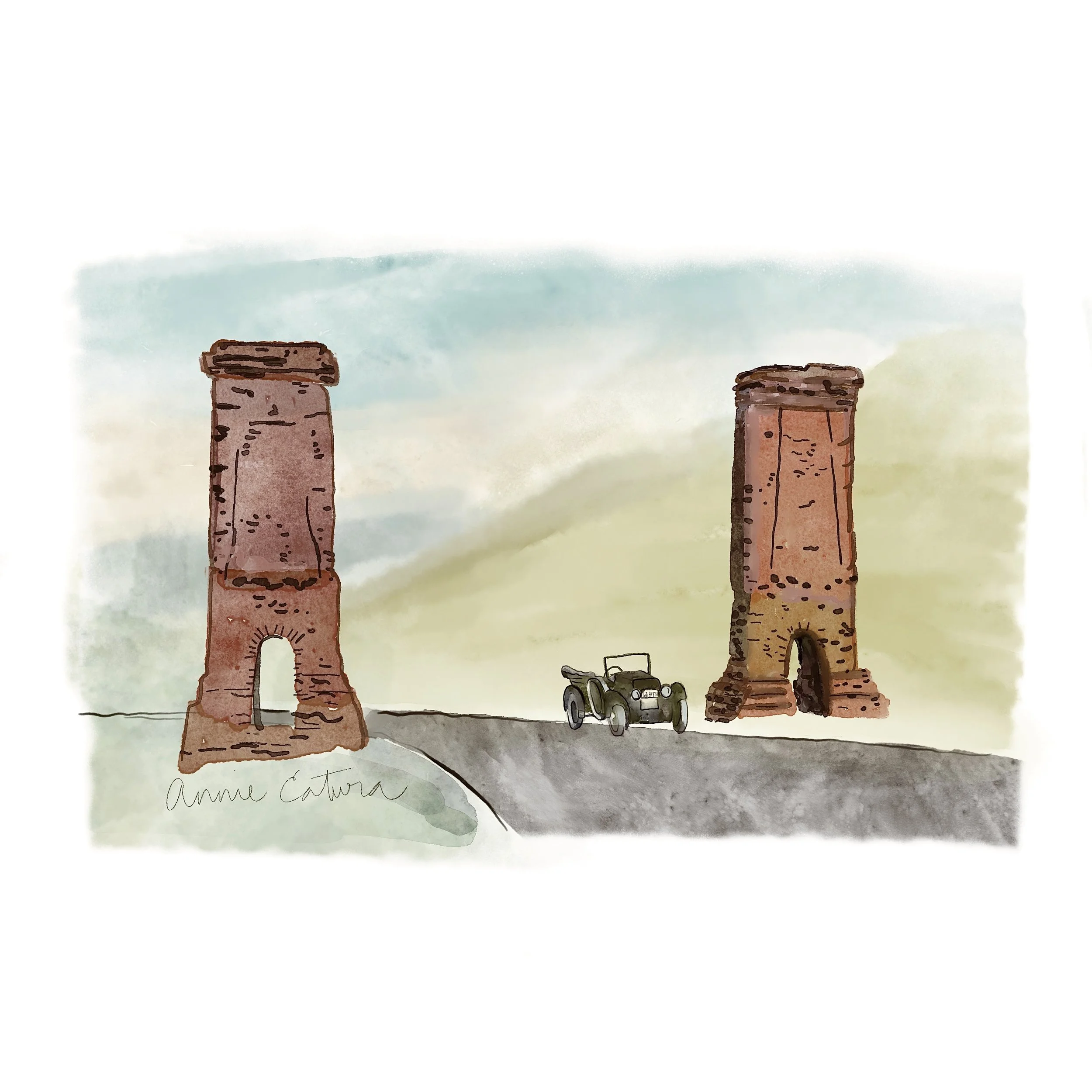
As travelers embark on their journey up the scenic Lariat Trail from Golden, some of the first historical markers they encounter are the majestic, 35-foot pillars. Erected in 1917, these pillars were designed to be more than mere structural elements; they symbolized the gateway to the Rocky Mountains.
MILE 1.2
Sensation Point - A Hidden Engineering Marvel
Passing by Sensation Point today, the modern motorist might not even notice the engineering marvel beneath their wheels. Yet, in the early 20th century, this section of the road was a significant feat and was likely the most ambitious and costly part of the Lariat Trail. Originally blasted from solid granite, the road faced regular threats from ongoing landslides. Engineers responded by constructing a robust concrete wall, anchored deeply into the rock on either side, to stabilize the roadbed and prevent further slides. This intervention created Sensation Point, named for the awe-inspiring views it offers over Clear Creek, 700 feet below.
Mile 2
The "M"-blem on Mount Zion - Beacon of Tradition and Triumph
As the Lariat Trail ascends Mount Zion, travelers are met with the striking sight of a massive white
"M" above the Colorado School of Mines. This symbol, constructed by the school's class of 1910, stands 104 feet wide and 107 feet tall, crafted from locally sourced stones and visible for miles. Its construction was an ingenious feat, with materials transported up the rugged terrain by burros.
It was first illuminated in 1931 using 350 borrowed bulbs. By 1932, permanent lighting was installed, making it one of the world's largest electrically lighted letters of the time.
Mile 3.2
The Lariat Spring House - A Relic of the Road's Past
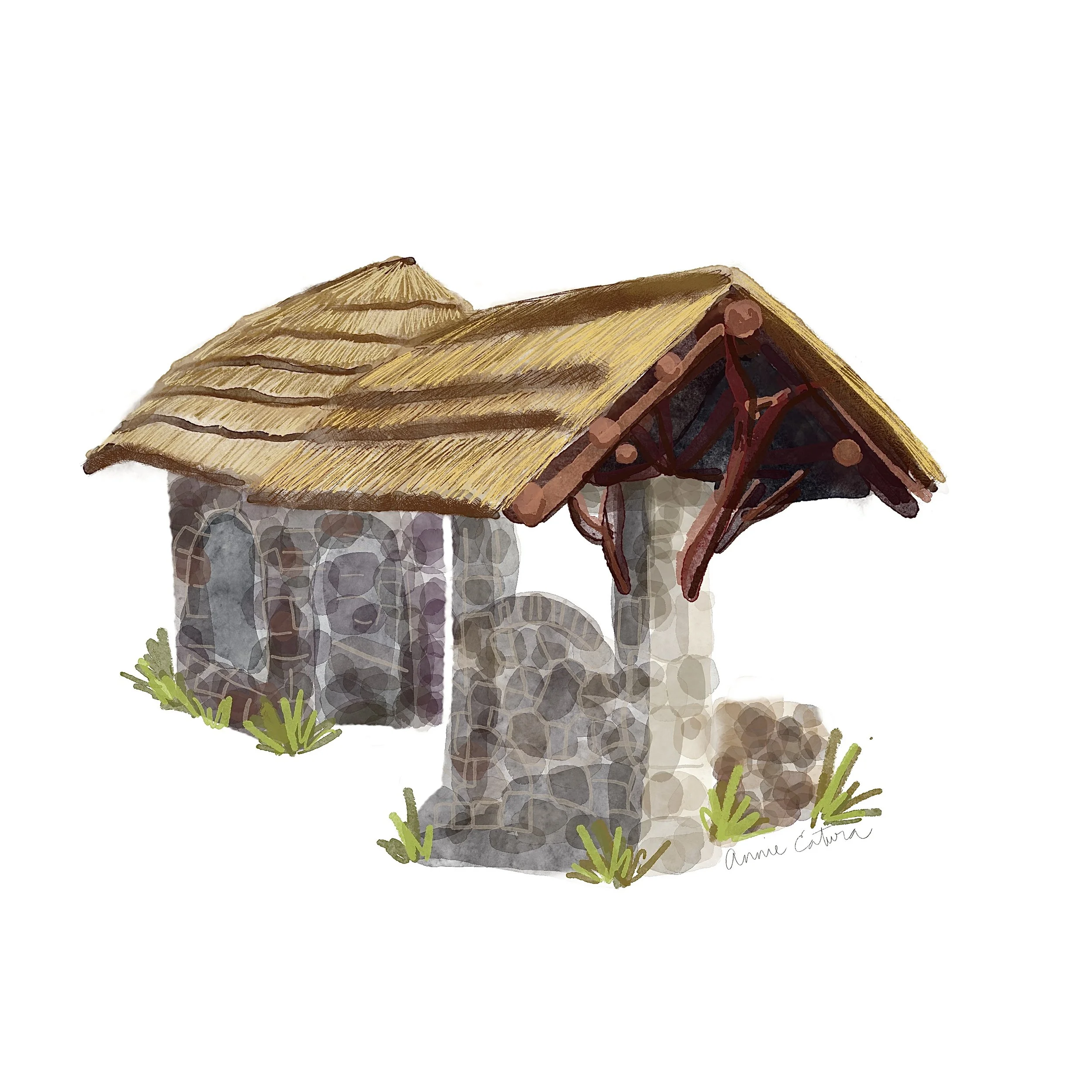
Beyond Windy Saddle, on the third of four sharp, hairpin turns, lies the former site of the Lariat Spring, once a crucial pit stop for early motorists to cool their engines and refill radiators. The structure was mostly dismantled due to a foundational issue, but you can still see some of the original structure.
MILE 4.4
Buffalo Bill's Grave and Museum - A Monument to the Wild West
As you approach the famous Buffalo Bill Museum and Grave, consider the rich legacy of this American icon. For a truly immersive "going-back-in-time" experience, bring a picnic to enjoy at the adjacent Lookout Mountain Park. There, surrounded by rugged scenery, you can savor a moment of reflection and tranquility, just as travelers might have done in days gone by.
MILE 4.7
Turn-off to Boettcher Mansion - A Legacy Built Atop Lookout Mountain
Charles Boettcher envisioned this mansion in 1917 as a summer retreat that harmonized with the area. His deep connection to the region was underscored by a significant contribution from his Ideal Cement Company, which provided the concrete essential for paving the road to the summit and facilitated access to this scenic route.
MILE 5
Sam's Cowhide Corners - A Toast to History
Traveling along the top of the Lariat Trail on Lookout Mountain Road, travelers will encounter a site with a spirited past - the Crystal Rose, formerly known as Sam's Cowhide Corners. This establishment, once a bustling watering hole of another kind, played host to locals and travelers alike and offered a place to unwind after navigating the winding roads of the Lariat Trail. In its heyday, it was a rowdy social hub where people gathered under the stars to overlook the burgeoning city below.
As our exploration along the Lariat Trail reaches the intersection of Lookout Mountain Road and Highway 40, we pause as the first segment of our drive through history concludes. Stay tuned for the next part of our series, where we will continue west along the 40-mile Lariat Loop National Scenic Byway.


